

Map 2020
🗺️
Atholi Grama Panchayat
Kozhikode District, Kerala, India
Geographical Map and Administrative Boundaries
MAP 2020
Geographical Boundaries
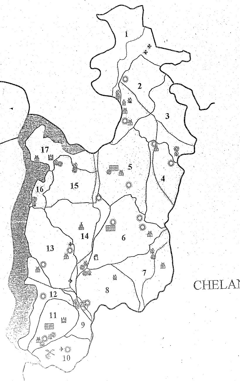
The geographical boundaries of Atholi Grama Panchayat are listed below.
⬆ North
Ulliyeri and Balussery Grama Panchayats
➡ East
Nanmanda, Balussery and Thalakkulathur Grama Panchayats
⬇ South
Thalakkulathur Grama Panchayat
⬅ West
Korapuzha and Ulliyeri Grama Panchayats
🧭 Atholi Panchayat Map – 2020
View the original map from the official Panchayat website.
View Official Map Page ↗ Open Original Map ↗
Note: This English page presents the geographical boundaries and map associated with the 2020 source page. Refer to current official Panchayat records for updated boundaries.
